The Esri Canada User Conference brings together GIS professionals from across the country to explore how geography connects people, data, and decisions. Integrating Everything, Everywhere captures the momentum of Canada’s expanding telecom and utility networks as organizations use GIS to plan smarter, manage assets more efficiently, and modernize critical infrastructure.
Whether it’s accelerating broadband builds or improving field visibility for utility inspections, we’ll be there to share how connected, visualized data is helping teams move faster and work smarter.
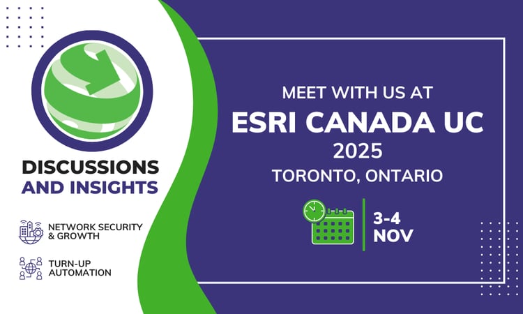
When: November 3–4
Where: Toronto, Ontario


3-GIS provides advanced geospatial technology built for fiber and utility networks. Want to learn how these solutions support modernization efforts across Canada? Let’s talk.