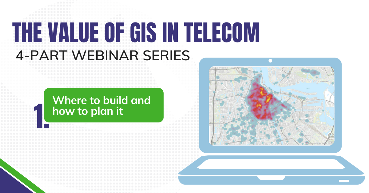
Using GIS to map out your fiber network can mean more than just knowing where your fiber assets will exist in the real world. It can mean knowing the details of who they will serve, what services need to be provided, and how much providing those services may cost or benefit you.

From high-resolution imagery to street centerlines to demographic data, GIS can empower downstream processes for every aspect of fiber deployment and management. Watch this first installment of a 4-part webinar series on the value that geospatial data and analytics bring to the telecom industry.
During this session, the presenter will explore various aspects of network planning including: