Deploying fiber faster and smarter takes innovation of all kinds. Join us at ISE Expo 2022 where professionals around the globe meet to see and share the latest technology essential to building, operating, and maintaining fixed and mobile networks.
When: August 24-25, 2022
Where: Denver, Colorado, USA
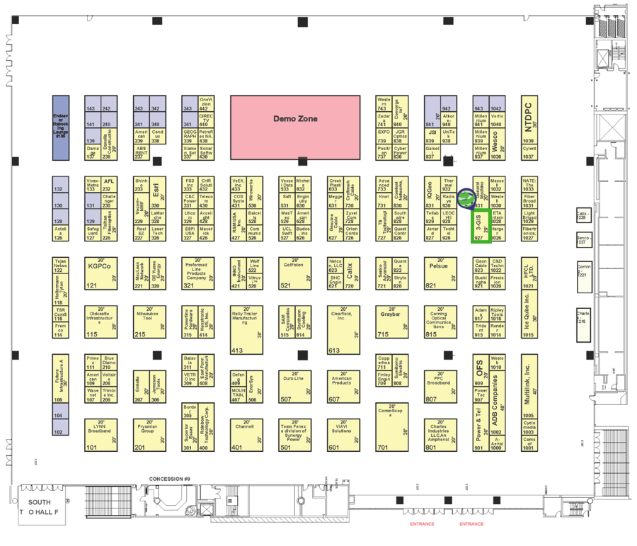
Booth: 927

|
Wednesday, August 24th |
| 1:00 PM - A comprehensive GIS for telecom |
|
See how Esri™ and 3-GIS work together to provide a system of engagement, record, and insight for the entire enterprise during every stage of the fiber network lifecycle including: > Visualization of fiber availability Presenter: Andrew Wright |
| 2:00 PM - Making better planning decisions: Referencing supplemental data in the HLD process |
|
GIS gives us more than just insight into where physical network assets are. See how GIS data provided through Esri can be used inside 3-GIS | Web to make critical decisions during fiber planning that can help your business avoid running into deployment roadblocks and making costly mistakes. Presenter: Drew Peele |
| 3:00 PM - Ask an OSP expert |
|
In this session, 3-GIS OSP Manager Tony Franks will answer your questions live. Find out best practices Tony has picked up from his years in the field and how field mobility apps have helped his team move faster and more efficiently. |
|
Thursday, August 25th |
| 1:00 PM - The integration of GIS and CAD and what it means for you |
|
You don’t have to pick a side when it comes to choosing GIS or CAD for your fiber engineering projects. Join this session for a look into extending your CAD data into 3-GIS | Web. |
| 2:00 PM - From catalog to customer: The value of using a digital map to deploy physical networks |
|
Delivering as-builts is a must. Delivering as-builts from a system with network design and management capabilities is a huge plus. See how working within a GIS-based fiber network management system can help support construction activities, reduce field visits, and speed up time to revenue. |
3-GIS | Network Solutions facilitate the design and construction processes in an easy to use, GIS-based platform with tools to accelerate drafting and export prints and schematics–all within a robust system developed for continued network management.
| Solutions to tie your processes together and streamline data capture | Services and support to get your team up and running faster and more efficiently | See results from other engineers and service providers |